What's new

On the road and off it too.

I took a lot of photographs on my latest trip. I'll post some of them when I'm back in wifi land, but there's one that I'd like to share right away.
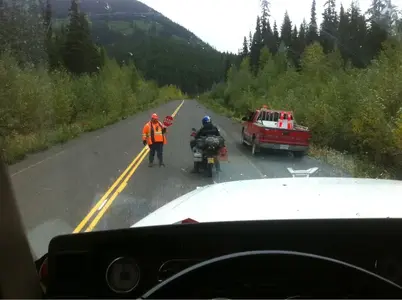


image-2201011659.webp

I was heading south on Highway 37, which runs from the border with the Yukon Territory to Kitwanga. There is construction going on, and the road was temporarily closed. The traffic was building behind me and this motorcycle overtook the line of vehicles, and stopped in front of me. The last thing I expected was to see that the license plate was British. I don't get surprised on the road very often, but this guy and his wife made my travels look a bit sick. They are on their way from England (the north by the sounds of their accents) via Europe, Russia, Mongolia, Korea, the USA, Alaska, Canada to South America, Argentina to be precise. Wow. I'm impressed.
 
Last edited:
Must be one awesome trip for them!! I think you'd probably need a year off to do something like that!
 
IMAGE_040 (2).webp

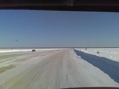
Thanks Maura. This one is from a couple of years ago. It was taken on the ice crossing over the Mackenzie River at Fort Providence in the NorthWest Territories, about 300 km from Yellowknife. At this point the river is about 1.4 km wide. I'm told that the ice is 16 feet thick, and it needs to be. The river is still flowing under the ice, and the trucks I was driving at the time could weigh anything up to 63 tonnes.
 
Apparently I've been sleepwalking since I missed this thread completely.

This is a great idea. Great pics all.

AA

Sent from my iPhone using iPF
 
There is a dimension to you I did not have a clue about, reading your knowledgeable posts. Excellent photos too.
Very impressed! Take care in your driving and stay safe. ( I say this also partly because to an Australian you
seem to be constantly driving on the wrong side of the road. LOL)
All the best, Andrew
 
Thanks for the comment, Andrew. As an Englishman, it often feels to me like I'm driving on the wrong side of the road, from the wrong side of the truck!

It was even more fun when I used to drive a British truck in Europe. The steering was on the right, and mainland Europe also drives on the right. Interesting feeling, when you are driving through the Mont Blanc tunnel with the tunnel wall about 3 feet away.

Unfortunately, I don't have any photographs from those days. Digital photography was way in the future then.
 
It had to come sooner or later.


image-2812874630.webp

Looks like this winter has officially started. Night time temperatures are heading into negative, though single, figures. Won't be long before -40° is the norm.

Sent from my iPhone using iPF
 
KevinJS said:
It had to come sooner or later.

<img src="http://www.ipadforums.net/attachment.php?attachmentid=27010"/>

Looks like this winter has officially started. Night time temperatures are heading into negative, though single, figures. Won't be long before -40° is the norm.

Sent from my iPhone using iPF

That's good looking black top? Are you out or inbound?

AA

Sent from my iPhone using iPF
 
Out. That was the Cecil Lake Road heading down into the Beatton River valley.

Sent from my iPhone using iPF
 
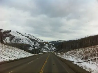
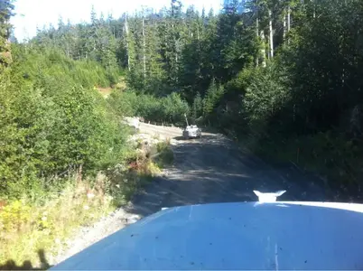
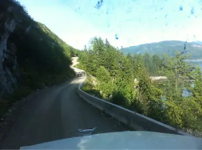
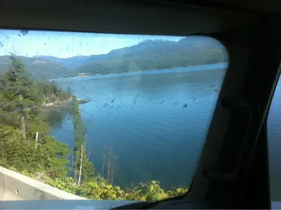
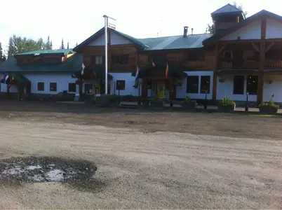
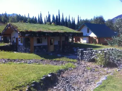
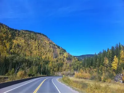
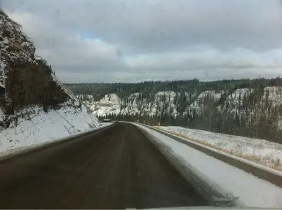
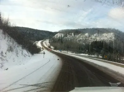
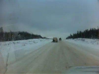
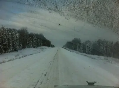
And as winter is obviously well on the way, here are some views of the Alaska Highway earlier today.


image-1868529585.webp


image-504084945.webp


image-2910994398.webp


image-3115261188.webp
 
I've been using this app on my travels for a while now, and thought I'd bash out something of a review on it.


image-931803915.webp

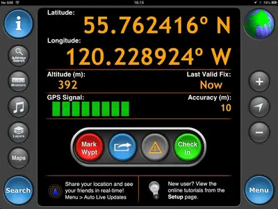
Motion-X GPS HD costs $2 from the Canadian App Store. I use it for trucking, but it would be equally useful for walkers, bicyclists, geocachers and anyone else who wants an idea of their whereabouts. Accuracy is to within 5 metres.


image-4133488965.webp

It uses a variety of maps. Some can be downloaded for offline use, or cached so they don't use storage when you've finished with them.


image-2617606265.webp

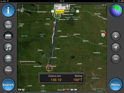
There is a built-in measuring tool for quick estimates of distance. This gives the distance as the crow flies, but doesn't take into account that the crow might be driving a Freightliner, and sticking to roads. Nevertheless, it gives a reasonable idea.


image-2846349103.webp

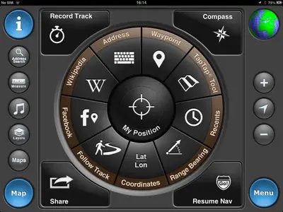
The menu system is very intuitive and gives easy access to all of the main functions.


image-2186161427.webp

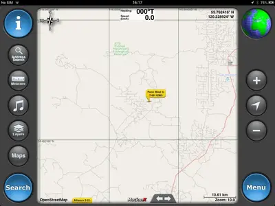
I find it especially useful for finding offroad sites. There can be a whole mess of goat trails, so it's good to be able to see exactly where you are and where you are going.


image-4189102112.webp


image-2635013557.webp

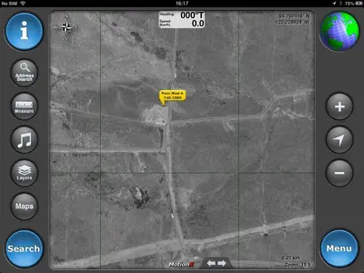
And you can check the satellite image to be absolutely certain that your target exists.


image-2587318785.webp

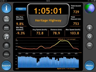
Tracks can be recorded so that you can get information on gradients, average speed etc.


image-3136855779.webp

The only limits are those imposed by the storage capacity of your iPad, so hundreds of waypoints can be stored, and maps can be stored at various levels of zoom for offline use. You can set it up to automatically send your position to an email address, or do it manually. You can share tracks and waypoints over email, and rename them at will.

5/5. The most useful app I have ever bought.

Sent from my iPad using iPF
 
Aha...very nice, Kevin. Might you want to do something like this on iPhones if its relevant there?
 

Most reactions

Latest posts

Back
Top